For Viewing Geo-enabled, Layered PDF Documents
 With a current version of Adobe® Reader® (e.g., version 9.0 and above), you have the ability to view a PDF map in terms of its layers. You can turn off/on any layer and then print a map to how you want it to look!
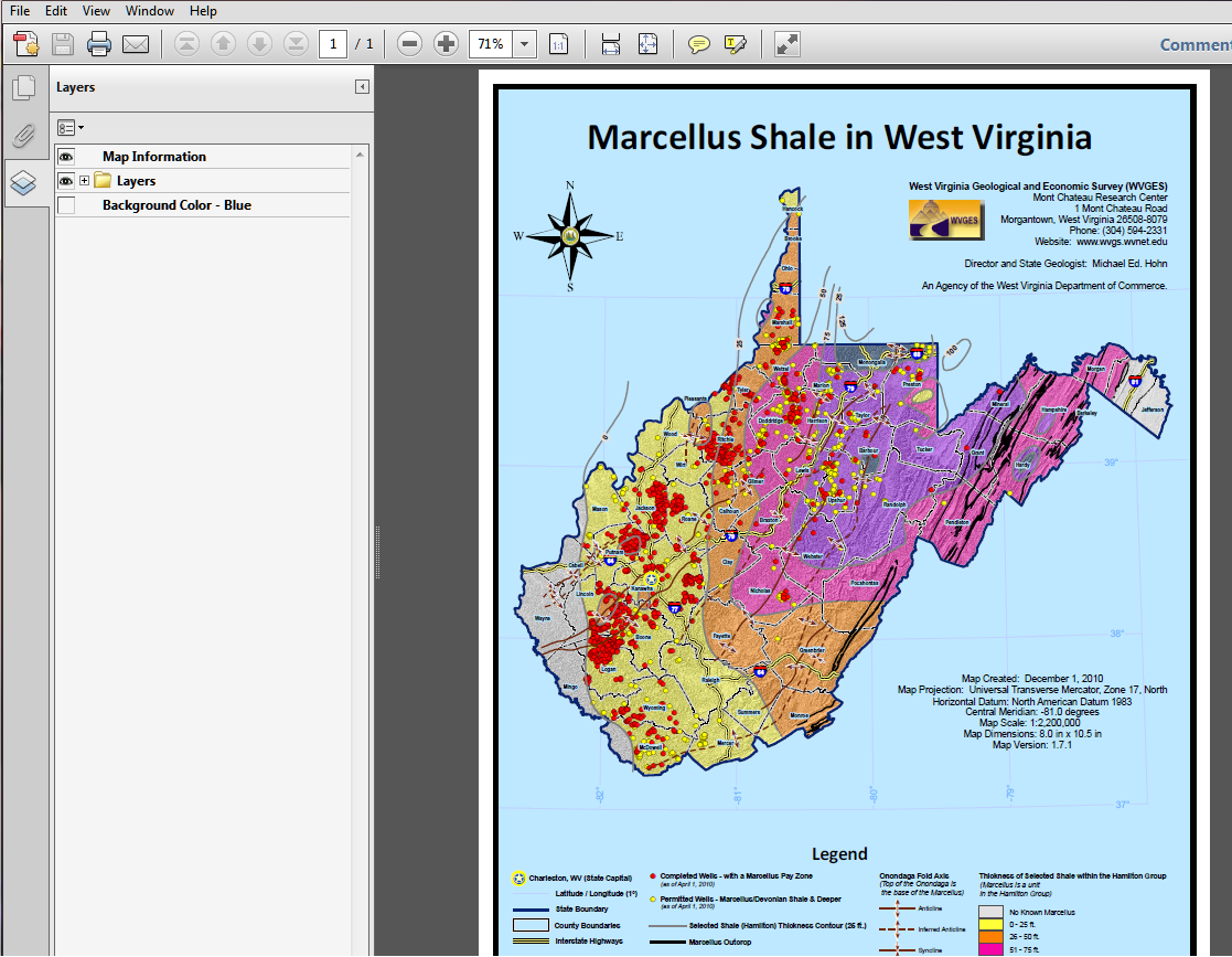
The example below shows the Marcellus layered PDF map as it looks when you first open it.

Layer Folders:
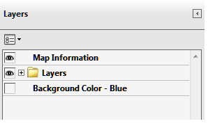
Note the Layers menu to the left of the map:

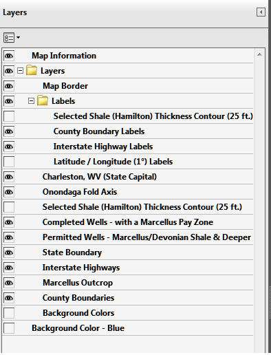
Click on the plus “+” symbol to open the folder containing layers.
Once opened, the symbol will change to a minus “-“ and then you should see all of the layers contained within the folder.

Layer Viewing:
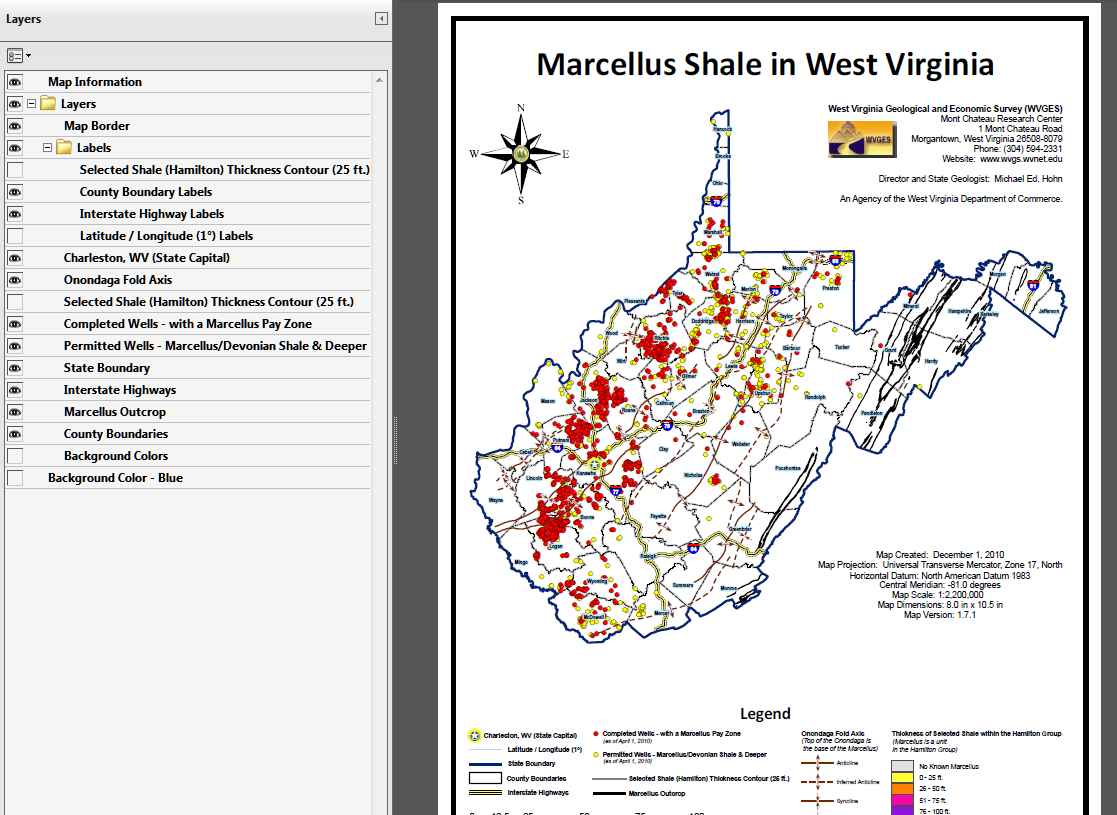
You can turn off layers by clicking on the little eye symbol  .
You will have a blank square for the layer feature in the menu. The map as shown below is the result.

By clicking on the blank square, the eye symbol will return and the layer will be viewable again in the map.
With this ability, you can print the PDF with the features that you want!
You may also wish to download the free TerraGo Toolbar plug-in for Adobe Reader to enable more ways to view and interact with geo- or gis-enabled PDFs.
(Registration required from TerraGo Technologies).


Page last revised: December 9, 2010
Please send questions, comments, and/or suggestions to webmaster.
Page created and maintained by:
            West Virginia Geological and Economic Survey
  Address:  Mont Chateau Research Center
            1 Mont Chateau Road
            Morgantown, WV  26508-8079
Telephone:  304-594-2331
      FAX:  304-594-2575
    Hours:  8:00 a.m. - 5:00 p.m. EST, Monday - Friday
Permission to reproduce this material is granted if acknowledgment is given
to the West Virginia Geological and Economic Survey.


 .
You will have a blank square for the layer feature in the menu. The map as shown below is the result.