Did You Know?
State Spatial Data Infrastructure (SSDI) Subcommittee
Subcommittee Mission (Draft): To develop in partnership with state, federal, county, and local agencies and in cooperation with private industry, a statewide, comprehensive, standardized, public domain, digital cartographic database for West Virginia. The data are to be shared and used by government, the general public, and the business community for the economic and social benefit of West Virginia.
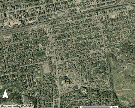
Data development is at the heart of GIS applications and activities. The State Spatial Data Infrastructure (SSDI) Subcommittee is a collaborative teaming of the State GIS Steering Committee and stakeholders throughout the WV GIS community to develop strategies and activities for key statewide GIS data layers. The SSDI refers to the basic GIS "framework" data layers: hydrography, transportation, orthoimagery, elevation, cadastral (land ownership), geodetic control, political boundaries, structures, and geographic names. Through planning, collaboration, and cost-sharing strategies and initiatives, SSDI teams will develop business and stewardship plans that integrate the technical, practical, and beneficial aspects of the development of West Virginia's framework data.


